- Home
- Directory
- Shop
- Underwater Cameras - Photographic Accessories
- Smartphone Housings
- Sea Scooters
- Hookah Dive Systems
- Underwater Metal Detectors
- Dive Gear
- Dive Accessories
- Diving DVD & Blu-Ray Discs
- Diving Books
- Underwater Drones
- Drones
- Subscriptions - Magazines
- Protective Cases
- Corrective Lenses
- Dive Wear
- Underwater Membership
- Assistive Technology - NDIS
- On Sale
- Underwater Gift Cards
- Underwater Art
- Power Stations
- Underwater Bargain Bin
- Brands
- 10bar
- AirBuddy
- Akona
- AOI
- Apollo
- AquaTech
- Atomic Aquatics
- aunoc
- AxisGo
- Backscatter Underwater Video and Photo
- BLU3
- Buddy-Watcher
- Cayago
- Chasing
- Cinebags
- Contour
- Deepblue
- Devilite
- Digipower
- DJI
- Dyron
- Edge Smart Drive
- Eneloop
- Energizer
- Exotech Innovations
- Fantasea
- FiiK Elektric Skateboards
- Garmin
- Geneinno
- GoPro
- Hagul
- Hoverstar
- Hydro Sapiens
- Hydrotac
- Ikelite
- Indigo Industries
- Inon
- Insta360
- Intova
- Isotta Housings
- Jobe
- JOBY
- Kraken Sports
- LEFEET
- Marelux
- Mirage Dive
- Nautica Seascooters
- Nautilus Lifeline
- NautiSmart
- Nocturnal Lights
- Nokta Makro
- Ocean Guardian
- Oceanic
- Olympus
- OM System
- Overboard
- Paralenz
- PowerDive
- QYSEA
- Ratio Dive Computers
- Scubajet
- Scubalamp
- Sea & Sea
- SeaDoo Seascooter
- SeaLife
- Seashell
- Seavu
- Shark Shield
- Sherwood Scuba
- Spare Air
- StickTite
- StormCase
- Sublue
- Suunto
- SwellPro
- T-HOUSING
- Tusa
- U.N Photographics
- Venture Heat
- XTAR
- Yamaha Seascooter
- Youcan Robot
- Zcifi

Tasmania - Bound for Adventure
Contributed by Karen Gowlett-Holmes
One look at the prognostic weather chart told me that we would not sail on schedule. The forecast was for 30 knot north-westerlies with gusts to 45 knots through out the night and for the next 24 hours.
 Our
destination, the Kent Group of islands, was north west of our departure point,
Inspection Head at the mouth of the Tamar River in northern Tasmania. The vessel
of the brigantine Windeward Bound had taken aboard a motley crew organised by
Christian Bell, the Tasmanian Co-ordinator of the marine and Coastal Community
Network,. We had eight divers out on a full complement of twenty four, twenty
five if you counted Oscar the ships dog.
Our
destination, the Kent Group of islands, was north west of our departure point,
Inspection Head at the mouth of the Tamar River in northern Tasmania. The vessel
of the brigantine Windeward Bound had taken aboard a motley crew organised by
Christian Bell, the Tasmanian Co-ordinator of the marine and Coastal Community
Network,. We had eight divers out on a full complement of twenty four, twenty
five if you counted Oscar the ships dog.
The aim of the voyage from my point of view was to video and photograph as much of the marine life and historic ship wrecks as possible to help with the creation of the Kent Group Marine Reserve.
We threw off the lines late the next afternoon and motored to rhe mouth of the Tamar and into Bass Strait. The wind was still a gusty 25 knots from the North West but was forecast to swing West, then South West hopefully giving us the ideal sailing conditions early next day.
We were divided into groups under the supervision of the experienced crew to stand watch during the journey. Many of the new crew and some of the old fell victim to the poor sea conditions, which the skipper Brian Parry-Adams rated by chunder factor. My watch was the middle watch from midnight to 0400 and it was an experience that I’ll remember forever.
The moon was nearly full and on the bow, bathing the ship and the heaving sea in silver light for all of my four hours at the helm on the opened quarter deck. The clear cold sky and the fresh wind that combined with the natural light show made standing at the helm pass rapidly. I became aware for the first time in many years of just how insignificant we are when nature chooses to display her charms. All too soon it was time to crawl back into my warm bunk and catch some sleep.
Several hours later, I re-emerged to find the wind had changed and the square sails had been set creating a new feeling to replace the magic of the wild night with a superb morning with ideal sailing conditions. Several of those who hadn’t been able to crawl from their bunks to take turn on watch began to appear green faced into the fresh air as the weather mellowed and our destination materialised on the horizon. Almost 24 hours to the minute since departing Inspection Head, the anchor plunged through glassy surface of West Cove on Erith Island.
Steamship Bulli
 This
vantage point was most suitable from my point of view as the wreck of the steamship
Bulli was only 50 meters from us and although almost sunset Mick Baron, Graham
Collin and I decided to gear up and go for it. My theory was that we were already
one full day behind and needed to make an effort in case the weather deteriorated
in coming days. We had two small inflatables aboard and we assembled the smaller
of the two first. It was able to deliver us one at a time onto the wreck, which
sits upright on a sandy bottom in about 17 metres of water.
This
vantage point was most suitable from my point of view as the wreck of the steamship
Bulli was only 50 meters from us and although almost sunset Mick Baron, Graham
Collin and I decided to gear up and go for it. My theory was that we were already
one full day behind and needed to make an effort in case the weather deteriorated
in coming days. We had two small inflatables aboard and we assembled the smaller
of the two first. It was able to deliver us one at a time onto the wreck, which
sits upright on a sandy bottom in about 17 metres of water.
The SS Bulli laden with coal and bound for Launceston had taken shelter from heavy southerly weather on the afternoon of the 28th June 1877. The weather cleared that evening and the master of the vessel recommenced his journey. Unfortunately, the vessel struck rocks near NE Island and was forced to return to West Cove. The crew tried to save the ship by throwing the cargo overboard this however failed and the ship was abandoned. The crew of 26 landed on Erith Island and later with the help pf the lighthouse keeper, signalled a passing New Zealand steamship the SS Tararua, which rescued the crew and transported them to Melbourne.
The wreck is marked on all current charts and being 180 feet (54 metres) long is easy to locate as its shape is visible from the surface. The current in the area is strong and inexperienced divers should be supervised carefully. The ship is extremely photogenic: the stern make a wonderful silhouette. The interior forward of the boiler is stunning with some of the most colourful invertebrate life in the region. I did three dives on th Bulli and still didn’t get all the video footage I would have liked.
 The
next morning, Mick and I decided on the southwest corner of Deal Island near
a place we called Indian Head. This was a deep wall dive that took us to 35
metres. It was another of those dives that, should the chance arise, I would
not hesitate to repeat. Clouds of Butterfly Perch swarmed around us almost blocking
out the sun on some occasions. Several Old Wives, a big bull seal and spectacular
invertebrate life kept is spellbound for nearly 40 minutes. Our fear of being
swept away in the current that passes through Murray passage was unfounded although
Stuart Lennox, our boat watch, had trouble finding us. Eventually, we were retrieved
and returned to the ship none the worse for wear.
The
next morning, Mick and I decided on the southwest corner of Deal Island near
a place we called Indian Head. This was a deep wall dive that took us to 35
metres. It was another of those dives that, should the chance arise, I would
not hesitate to repeat. Clouds of Butterfly Perch swarmed around us almost blocking
out the sun on some occasions. Several Old Wives, a big bull seal and spectacular
invertebrate life kept is spellbound for nearly 40 minutes. Our fear of being
swept away in the current that passes through Murray passage was unfounded although
Stuart Lennox, our boat watch, had trouble finding us. Eventually, we were retrieved
and returned to the ship none the worse for wear.
SS Karitane
Thursday’s plan was diving another historic ship wreck, the 1,376 ton
SS Karitane.
The SS Karitane was bound for Port Kembla and Sydney in December 1921. She carried
copper ingots from Mount Leyll mine, timber from Burnie and produce from Devonport.
While steaming across Bass Strait, she encountered thick fog and crashed into
the rocky headland on the southeast corner of Deal Island. Captain Spain assessed
the damage and chose to beach the vessel in Squally Cove about two miles from
where she first struck.
We moved the Windeward Bound to Squally Cove on the south side of Deal Island and located the wreck easily, as part of the bow is visible on the shore. Originally 247 feet (73 m) in length the remains of the ship lies with the stern in 12 to 15 metres of water and can be seen easily fro the surface of the clear water. Unfortunately, the vessel was blown to bits by the enthusiastic salvors led by the Johno Johnstone (of Niagra Gold fame). The ship has very little in the way of artifacts as it has has a pretty good going over since 1921 and is shallow enough to allow snorkellers to dive most of it easily. From the boilers to the stern is the most photogenic area with the stern laying starboard side down on a sandy bottom. If you want good photos, warn the other divers to stay off the bottom as the sand stirs up very quickly.
This is a dive for all levels of diver if there is no swell. Just remember that the weather can change very quickly and make returning to a safe anchorage difficult. The fish life around the wreck was inspirational and includes species that are not found further south plus many others that are not found further north. It was a real mixing pot and offered many great photo and video opportunities.
 Owing
to a later than normal first dive and the necessity to move the Windeward Bound
back to West Cove on Erith Island, four of us elected to do a night dive in
the sea grass bed near the anchorage. For me this was a disaster of a dive with
first my video light failing, then my video battery going flat. There were many
interesting night critters to see and just having the lights and camera strobes
firing made the whole scene seem like something out of the X-files. At one stage,
while under the ship, I noticed that the mast head and deck lights cast a silhouette
of the whole ship onto the sandy bottom. The masts and people walking on deck
cast their shimmering ghost-like shadows down through the clear mill pond calm
water. It was a dream like feeling as we sank towards the bottom and focused
on the job of finding the small creatures of the night.
Owing
to a later than normal first dive and the necessity to move the Windeward Bound
back to West Cove on Erith Island, four of us elected to do a night dive in
the sea grass bed near the anchorage. For me this was a disaster of a dive with
first my video light failing, then my video battery going flat. There were many
interesting night critters to see and just having the lights and camera strobes
firing made the whole scene seem like something out of the X-files. At one stage,
while under the ship, I noticed that the mast head and deck lights cast a silhouette
of the whole ship onto the sandy bottom. The masts and people walking on deck
cast their shimmering ghost-like shadows down through the clear mill pond calm
water. It was a dream like feeling as we sank towards the bottom and focused
on the job of finding the small creatures of the night.
Port Jackson Shark
I rose early on Friday to see and photograph the sunrise and wasn’t disappointed by the dazzling light show provide by the location and the vessel. The main dive site of the day was to be another deep one, this time on the northeast side of Erith Island, whch was more or less just around the corner from where out ship lay.
 This
was another awesome dive. Mick and I followed the almost barren bottom down
to 33 metres and along the sand edge into a world of brilliantly coloured encrusting
corals, sponges and thousands of fish. All too soom we had to leave this amazing
dive site and head up into reality for a deco and safety stop. This was notas
bad as it sounds as far as deco stops go as the fish life, including a good
size Port Jackson shark, kept us occupied for the remainder of our dive.
This
was another awesome dive. Mick and I followed the almost barren bottom down
to 33 metres and along the sand edge into a world of brilliantly coloured encrusting
corals, sponges and thousands of fish. All too soom we had to leave this amazing
dive site and head up into reality for a deco and safety stop. This was notas
bad as it sounds as far as deco stops go as the fish life, including a good
size Port Jackson shark, kept us occupied for the remainder of our dive.
This was our last night at Erith Island and first light on Sunday morning saw us circumnavigating Deal Island to catch the beautiful soft morning light on the eastern side of the island. Then off to the west to Judgement Rock seal colony. While most of the divers had a swim with the seals, I shot some top-side footage from the rubber duck and Mick did the diving. Then it was back to the business of heading home. The return trip overnight to the mouth of the Tamar River was uneventful and very pleasant if not a little sad. We had made some very strong friendships, done some world class diving, and had a week the likes of which usually happen only in adventure documentaries.
New Marine Reserve
As a result of the work done on this expedition and following work by Christian
Bell from MCCN the Tasmanian Government made
the announcement in 2005 declaring the Kent Group of Islands a Tasmanian marine
reserve.
It is our hope that we will return to Bass Strait to continue the saga and braoden
our knowledge of the dive sites in this magnificent group of islands
![]()


Shopfront
-
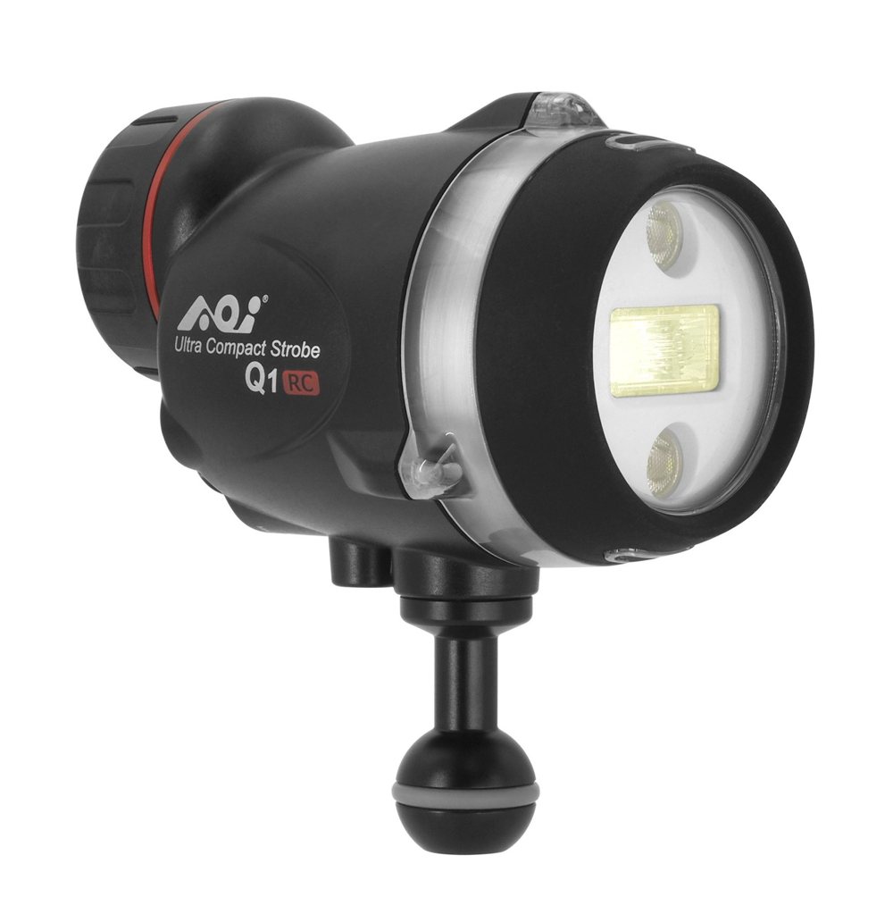 AOI UCS-Q1RC Ultra Compact Strobe Q1 with Olympus RC Mode
- Price A$ 649.00
-
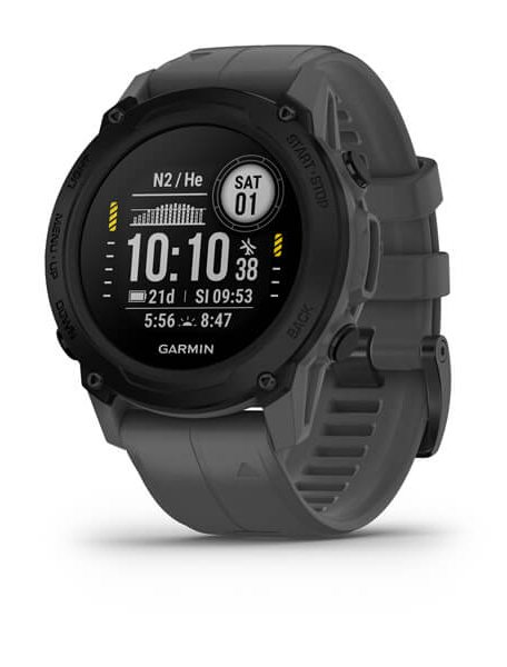 Garmin Descent™ G1
- Price A$ 829.00
-
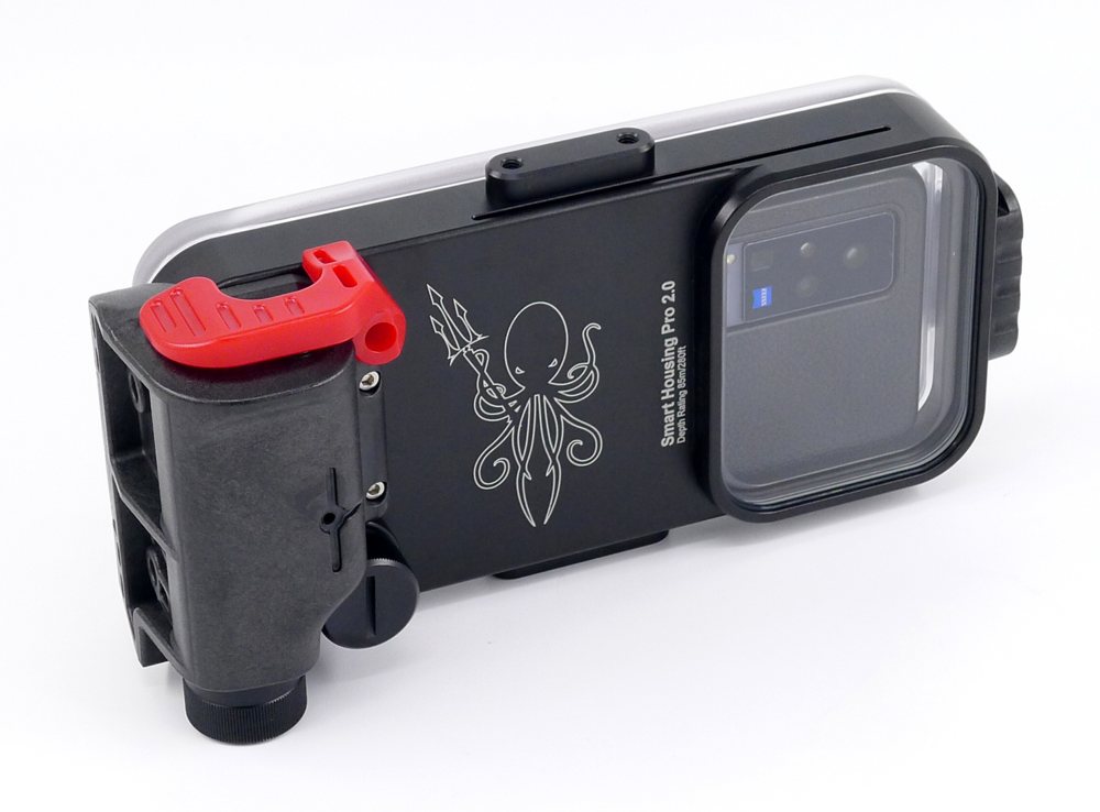 Kraken Sports - Universal Smart Phone Housing 2.0 Pro KRH07
- Price A$ 799.00
-
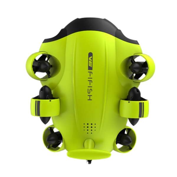 QYSEA Fifish V6 - Underwater Drone Kit with VR Head Tracking
- Price A$ 2,699.00
-
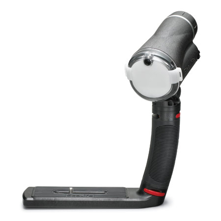
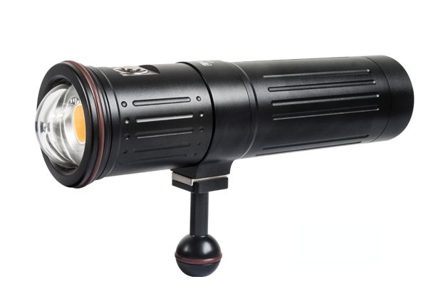 Scubalamp V6K PRO V2 Photo/Video Light - 12,000 lumens
- Price A$ 1,249.00
-
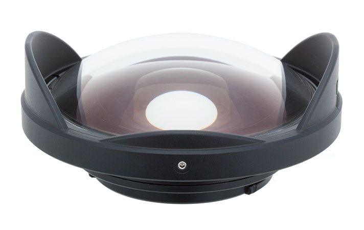 Inon UFL-G140 SD Underwater Semi-fisheye Conversion Lens
- Price A$ 549.00
-
 Inon Optical D Cable Type L Rubber Bush Set 2
- Price A$ 139.00
-
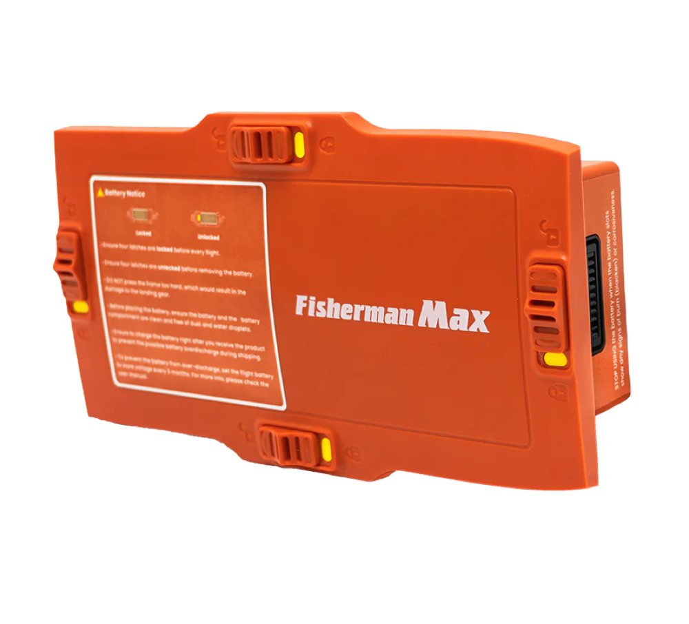
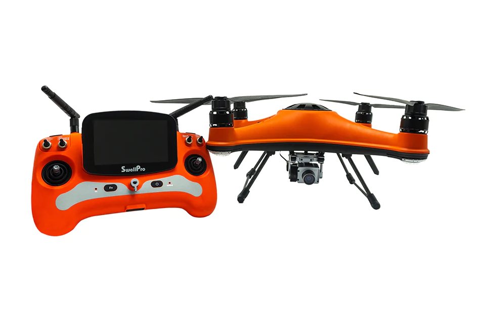 SwellPro Fisherman FD3 ADVANCED - WaterProof Fishing Drone
- Price A$ 3,499.00
In the Directory