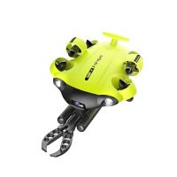
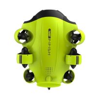
QYSEA Fifish - U-QPS for Fifish V6 series and W6
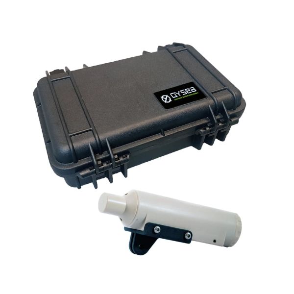
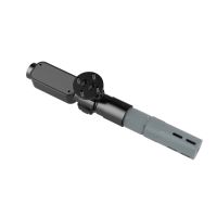
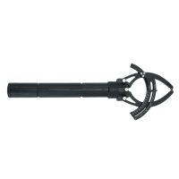
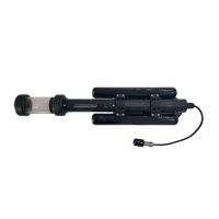
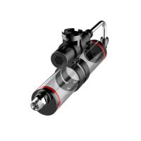
The U-QPS is a software and hardware ecosystem providing the FIFISH’s real-time ROV location, movement recordings three- dimensional diving path recordings, and more.
Availability: In stock
FIFISH - U-QPS for V6 Series and W6 - 100m and 300m versions
PRICE ON APPLICATION - PLEASE CONTACT US
The U-QPS is a software and hardware ecosystem that provides a 3D map of the FIFISH ROV’s real-time location, POI recordings, three-dimensional dive paths, as well as a one-click function for returning to its original location.
Built to perform reliably under a range of underwater interferences, the U-QPS elevates inspection tasks and discovery missions to a new professional level.
Specifications
- Working Depth 100m (Upgradable to 300m)
- Locator Operating Temp. -5°C ~ 60°C
- Locator Battery lifetime: ~10hours
- Locator Directivity: Omnidirectional ( 360degrees)
- Receiver Operating Temp.: -10°C ~ 60°C
- Receiver Transducers: *4
- Receiver Directivity: Omnidirectional ( 360degrees)
- Max range: 100m
- Frequency: 31.25-250KHz
- QYSEA Applications: QYSEA Navigator applications
Which FIFISH ROV model is the add-on tool compatible with?
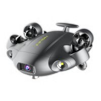
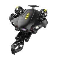
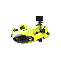
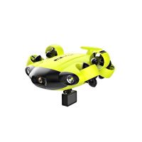
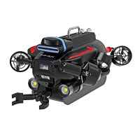
This add-on tool is compatible with the following FIFISH Underwater Drones:
- FIFISH V6
- FIFISH V6s
- FIFISH V6 EXPERT
- FIFISH PRO V6 PLUS
- FIFISH W6

